Water Resources Engineering Programme
Our Curriculum Overview
A commitment to excellence
Sustainability of water resources is paramount for ever advancing world…
Conserving water is saving world for the future generations…
Aim:
The programme aims to produce graduates competent in the effective and sustainable management of
water resources for human needs and environmental benefits. The programme will focus on the
knowledge and skills development required for the planning, design and implementation of engineering
solutions in the field of water resources management. With equal emphasis on both conventional, and
emerging theory and practice, graduates will have the proficiency to contribute to the manpower
requirement in critical areas of water resources engineering and management in the country.
On completion of the programme, graduates will be able to:
1. Determine the quantity and quality of water and carry out mapping of the surface, and
groundwater sources.
2. Plan and design hydraulic structures and systems.
3. Operate and maintain hydraulic structures and systems.
4. Implement effective practices in watershed, wetland and river basin management.
5. Integrate climate resilience in the design of water and river management systems.
6. Apply water system modelling in water resources management.
7. Plan, develop and conduct research projects through appropriate experimentation, analysis and
interpretation of data.
8. Partake in teamwork by applying effective oral, written and visual communication skills.
9. Apply entrepreneurial knowledge and analytical skills to explore tech-based business
opportunities and develop business proposals.
10. Engage with stakeholders and communities to develop solutions to local problems.
Highlights of modules
Hydrogeology
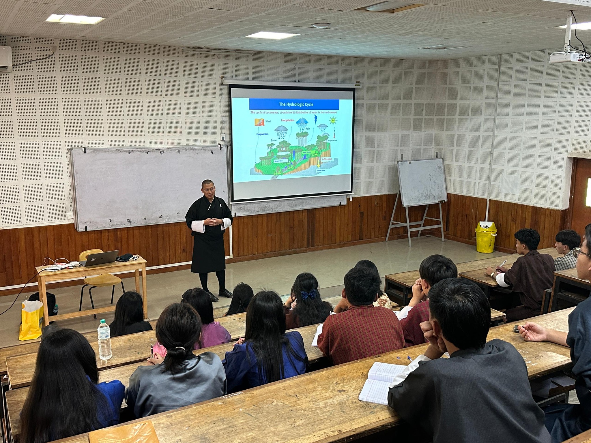
Upon completing this module, students will be able to differentiate the fundamental physical and chemical processes governing groundwater and determine its quality and quantity. They will develop an understanding of groundwater as a vital natural resource and its role in human activities, as well as key aquifer characteristics such as topography, compaction, and fluid density. Students will learn to estimate the engineering properties of aquifers from field data, apply appropriate adaptation responses to climate change impacts, and identify potential sources of groundwater contamination at a given site.
Introduction to RS and GIS in Water Resources
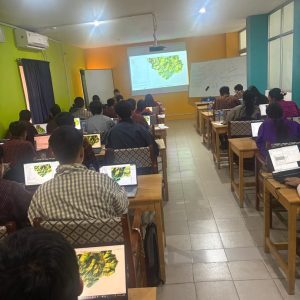
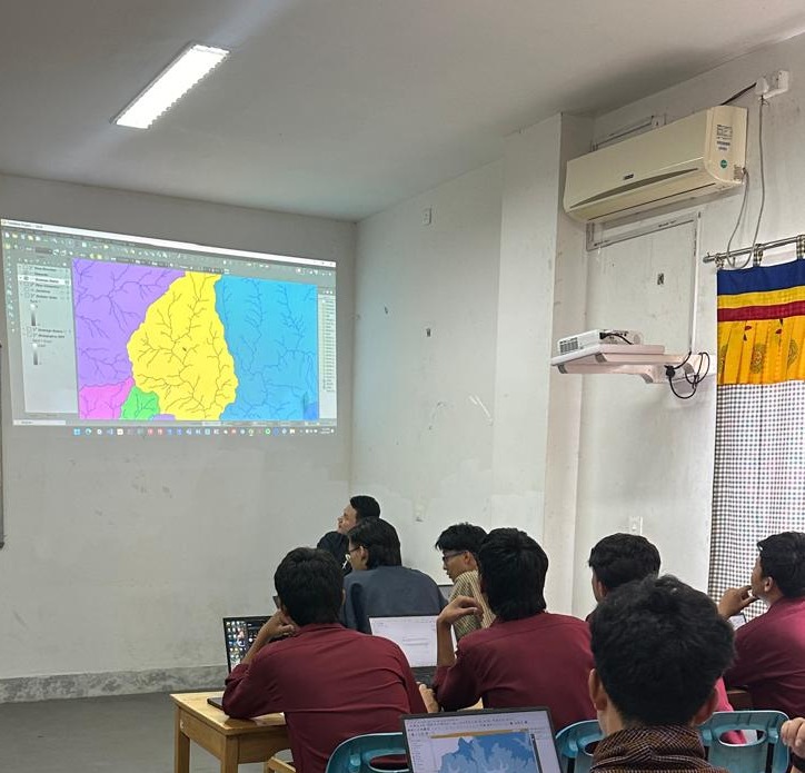
Students will be taught to evaluate the fundamental principles of electromagnetic radiation as they relate to spectral reflectance curves and spectral signatures. They will classify various satellite imageries using supervised and unsupervised techniques and process and analyze geospatial data within GIS platforms. Students will also learn to retrieve remote sensing products from global servers, synthesize geographically accurate maps using cartographic principles and coordinate systems, and create geospatial datasets using raster and vector-based algorithms. Additionally, they will apply image-interpretation principles through hands-on laboratory work.
Water Resource Modelling
In this module, students will be able to operate a wide range of modelling tools used in water resource management and apply various surface water modelling techniques. They will learn to select and utilize appropriate water resource models, including performing calibration and validation, and identify the hydrological models commonly used in resource assessment. Students will also evaluate these models based on their applications, distinguish ungauged basins under both stationary and non-stationary climatic conditions, and perform flood modelling using both open-source and commercial simulation platforms.
Irrigation Engineering
Students will be taught to interpret the requirements of a suitable irrigation scheme and identify the most appropriate irrigation system and method for a given landscape. They will determine irrigation water needs, appraise the causes of waterlogging and propose preventive measures, and explain key seepage theories relevant to irrigation. Students will also design irrigation conveyance systems, compute canal estimates, revenues, charges, and operation and maintenance costs, and communicate national irrigation policies through comparison with international practices. Additionally, they will become acquainted with emerging technologies in irrigation.
Environmental Flow Assessment
In this module, students will be able to identify environmental flow (e-flow) issues arising from various activities along river courses and outline methodologies to determine e-flow regulations in different situations. They will analyze hydrological data for e-flow assessment, independently operate UAS and survey equipment, and categorize fish species, their habitats, and migration behaviours. Students will also recognize the social and economic impacts of changes in water regimes and simulate hydrodynamic models for unsteady flow events.